
Farmington ZIP Code Coverage
The official Davis County city-by-ZIP table assigns Farmington one ZIP code: 84025. USPS identifies the Farmington Post Office at 145 East State, Farmington, Utah 84025-9998. The table is short because the inspected county and state sources did not establish a second Farmington ZIP, a PO-box-only Farmington ZIP, or a ZIP split and realignment history.
| ZIP | Areas Covered | Post Office | Notes |
|---|---|---|---|
| 84025 | Farmington, Davis County, Utah | Farmington Post Office, 145 E State | Official Farmington assignment; postal boundary is not a city survey |
Nearby Davis County assignments help prevent a wrong-city match. Centerville uses 84014, Bountiful uses 84010 and 84011, Fruit Heights and Kaysville use 84037, Layton uses 84040 and 84041, and Clearfield, Clinton, West Point, and Sunset use 84015. Those nearby ZIP codes are context, not extra Farmington codes.
Farmington ZIP Code Post Office
USPS is the best authority for a mailing-city and ZIP check. The captured location is the Farmington Post Office at 145 East State and shows the full nine-digit form 84025-9998. A ZIP+4 suffix helps route a delivery within the broader ZIP area. It does not identify a household, establish ownership, or set the municipal line.
The USPS Farmington location record verifies the mailing point used here.
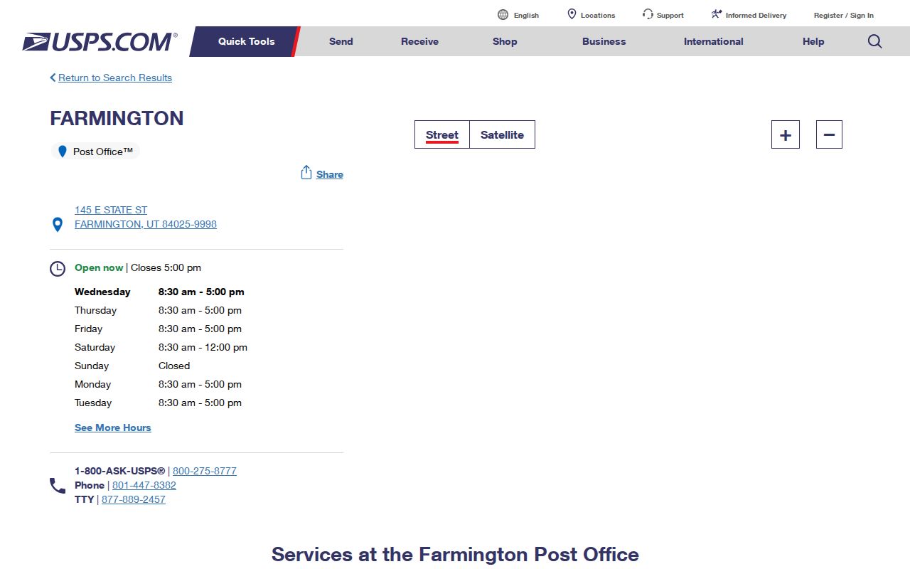
The USPS capture anchors the Farmington ZIP code directory to a real postal location. For an address that returns a neighboring city, confirm the mailing result before using a ZIP filter.
Farmington ZIP Code Resident Search
A ZIP-keyed search should move from broad geography to a record custodian. Utah Parcels exposes County, Street address, and City or Zip code controls with a Find button. The map offers a free statewide visualization. Davis County Property Search advertises owner name, property address, parcel or serial number, and document entry number, but the exact ZIP control in its application was not exposed in text inspection.
- Confirm the mailing ZIP and city through the USPS location or ZIP lookup.
- Use Utah Parcels with Davis County and City or Zip code, then note an address or parcel ID.
- Open the Davis County property map and check the parcel, owner, mailing address, and legal description.
- Use the voter profile or a lawful county-file request only for the registration question.
- When the ZIP produces a street, continue with the Farmington street directory address method.
A ZIP code directory narrows the field. It does not turn a postal area into a current resident roster.
Farmington ZIP Code Search Fields
The statewide parcel viewer is useful when a county application is hard to search or when a postal boundary needs a second look. Its fields are simple, but each has a different purpose. County narrows the source jurisdiction. Street address finds a physical location. City or Zip code filters a postal or place label. The parcel shape remains a visual aid, not a legal boundary.
| County | Choose Davis County for Farmington parcel context. |
|---|---|
| Street address | Search the physical address, with direction and suffix normalized. |
| City or Zip code | Use Farmington or 84025 as a broad filter. |
| Find | Runs the viewer search. |
| Basemap | Lite, Hybrid, Terrain, Topo, or Color IR options. |
| Overlay | Adds available map layers; exact local layer names vary. |
The Utah Parcels viewer shows the statewide ZIP-capable parcel search.
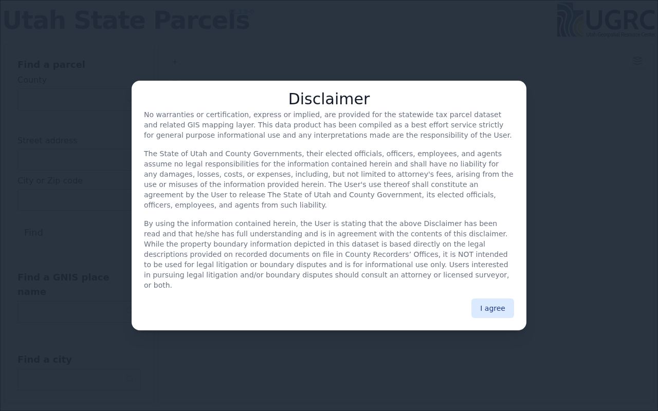
The Utah Parcels image shows the City or Zip code route. Copy the parcel ID and verify ownership with Davis County instead of treating the map as a title record.
Farmington ZIP Code Boundaries
Utah's official ZIP areas page cautions that ZIP codes are built for mail delivery and do not represent exact geographic boundaries. A Farmington mailing address can sit near a municipal edge or an unincorporated pocket. A nearby property can use a different postal city. The city line belongs to Farmington and Davis GIS, while the postal label belongs to USPS.
Use three keys side by side: situs address for the physical parcel, mailing address for tax or postal contact, and legal description for recorded title. If those fields differ, that is a normal record distinction, not an error by itself. Check the city map for jurisdiction, USPS for delivery, and the Recorder for ownership.
The Utah ZIP areas page supplies the postal-boundary caveat.
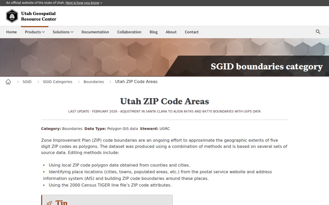
The statewide ZIP polygon capture reinforces the boundary caveat. It is a map of postal geography, not a survey of Farmington city limits.
Boundary rule. A 84025 mailing label supports delivery routing. It does not prove that an address lies inside the Farmington municipal boundary or that an owner lives there.
Farmington ZIP Code Terms
Postal terms are easy to mix up in a ZIP code directory. Keep the broad ZIP separate from the extra delivery digits and from any private routing label. The official research verified Farmington's assigned ZIP, but it did not locate a Farmington-specific unique ZIP, PO-box-only ZIP, or carrier-route list.
- ZIP code
- A five-digit mail-delivery area used to sort and route addresses.
- ZIP+4
- The five-digit ZIP followed by four more digits for a narrower delivery segment.
- PO-box ZIP
- A ZIP used for post-office boxes, which may not describe a residential street area.
- Unique ZIP
- A code assigned to one large institution or organization rather than a general area.
- Carrier route
- A postal delivery route within a ZIP, not a public household directory.
Farmington ZIP Code Property Records
The county property system is more precise than a ZIP filter once a parcel is known. Davis Property Search can be reached by owner, property address, parcel or serial number, and document entry number. A parcel card may show owner, situs, mailing address, legal description, acreage, boundaries, ownership history, assessment, and tax information. The Treasurer's land serial route uses the tax ID without dashes and maintains tax status on its own schedule.
Do not use a ZIP as a substitute for the parcel identifier. The mailing ZIP can change even when the land stays in place. Conversely, a recorded owner can receive notices outside Farmington while the situs remains in 84025. Property Search is informational and may be a day behind, so title questions go to the Recorder.
Farmington ZIP Code Voter Data
Utah Voter Search is a registration and polling tool, not a public ZIP directory. Standard public fields may include name, voter ID, residential and mailing address, party, status, update date, precinct, districts, and vote history. Full DOB, SSN, driver-license or state-ID number, signature, phone, and email are restricted. At-risk and Safe at Home records may be withheld.
A county-wide or ZIP-shaped voter list must follow the state and Davis County request routes. The state page says the statewide file is tab-delimited and has a separate charge; the county clerk handles county-specific questions. A missing record can mean privacy protection, inactive status, a name variation, or no registration. It does not establish that a person left Farmington.
Historical Farmington ZIP Code Searches
Modern ZIP codes cannot solve an old address by themselves. Farmington's 1853 grid, Main Street landmarks, later subdivisions, and changing postal labels make the legal description and original street wording more useful. Search the 1922-23 Farmington directory, reverse pages, Davis County Clipper notices, Historic Building Records, and census sources by the name and old address first. Then connect the result to today's parcel.
The 84025 label is a present postal clue. The Davis County Clipper digital run covers 1892-1992, and the Farmington Historical Museum holds most later bound issues through 2020. Historic Building Records returned 118 Farmington entries and pairs named buildings with addresses. These sources can explain why an old street search does not match a current ZIP or city label.
Farmington ZIP Code Directory Limits
The inspected official sources did not provide an address-by-address list of every 84025 point outside the city, a ZIP split year, or a complete historic address crosswalk. Carry those gaps forward. Use the USPS location for a current mailing answer, Farmington and Davis GIS for municipal geography, Utah Parcels for a broad parcel view, and the Recorder for ownership. Each custodian answers a different part of the ZIP question.
A careful Farmington ZIP code directory is therefore a locator, not a household list. Once 84025 narrows the search to a street, use the address record chain and verify any resident match through the source office.
Verify a Farmington ZIP Code Match
Use the ZIP label as the first sorting key, then test the address against the right geography. USPS can confirm whether a mailing location is associated with the Farmington Post Office and the 84025 delivery label. Davis County and Farmington map layers can show whether the point is inside a city or county parcel context. Utah Parcels can help locate a parcel by county, street, city, or ZIP, but its statewide notice says the map is not a legal boundary or survey.
When a result looks inconsistent, preserve the exact street line, unit or suite, city line, state, ZIP Code, parcel number, and date checked. A business, post office box, new subdivision, or edge address may use a postal city that does not match the municipal boundary. Ask the postal source about delivery formatting and the county or city source about jurisdiction. The Recorder is the proper follow-up when the question turns from mailing location to ownership.