
Walk a Farmington Street Record by Record
A street directory search should begin with one complete segment and a repeatable method. Davis County Property Search 2.0 is map-centered. Zoom the basemap, click a parcel, and read the detail pane on the right. Record the situs address, parcel or serial number, current owner, mailing address, legal description, subdivision, and any value or exemption context. Then repeat for the next visible parcel. The county describes the tool as informational, and data may be at least 24 hours old.
Use this five-part street walkthrough:
- Normalize the street number, direction, and suffix, then locate the parcel in the county map.
- Copy the parcel ID and legal description before moving to another address.
- Open the Recorder's property history and separate title transfers from mortgages, releases, and liens.
- Compare an owner or mailing address with the Utah voter profile only as a separate residency signal.
- For older households, ask the library or museum for reverse, or criss-cross, directory pages and Clipper notices.
A parcel-by-parcel method keeps a Farmington street directory useful without turning a map into a household roster. A renter, relative, visitor, or other household member may not be named in the public property record.
Farmington Street Directory Search Fields
The county advertises four main search anchors: Owner Name, Property Address, Parcel or Serial Number, and Document Entry Number. The first two are useful for discovery. The latter two are better for repeat work because an identifier can survive a spelling difference or an address change. The statewide Utah Parcels viewer adds County, Street address, and City or Zip code fields, but it is a visualization, not a title search, boundary survey, or legal map.
| Owner Name | Optional name route for the recorded owner; exact behavior is application-specific. |
|---|---|
| Property Address | Physical situs address; normalize North, South, East, West, and street suffixes. |
| Parcel or Serial Number | Tax ID used by the property, tax, Recorder, and Property Watch systems. |
| Document Entry Number | Unique Recorder anchor for a recorded item. |
| Map click | Zoom the Davis map and click a parcel to open right-side details. |
The Davis County map application gives the visual street-browse experience. Its terms and disclaimer are part of the search context, so save the parcel ID rather than relying on a screenshot alone.
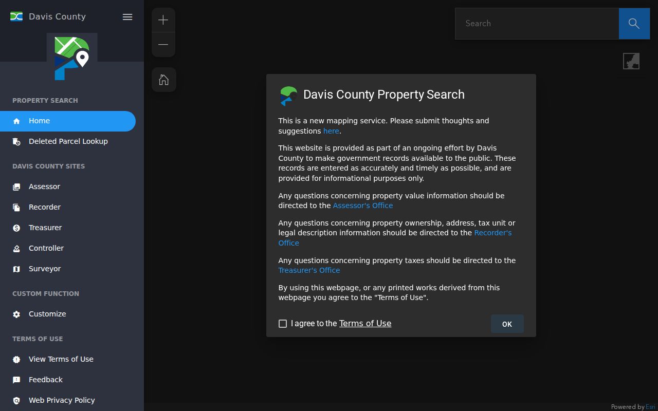
The captured parcel screen shows the starting point for walking a street one polygon at a time.
Farmington Street Directory Parcel Card
A parcel card answers several narrow questions at once. The owner field identifies the current recorded owner. The situs field locates the physical parcel. The mailing field tells where a tax notice is sent. The legal description names a lot, block, subdivision, or metes-and-bounds tract. The card may also connect acreage, boundaries, ownership history, assessment data, and recorded documents. These fields should be copied together because any one of them can mislead when read alone.
A matching situs and mailing address may suggest owner occupancy, but it does not prove who lives there. A different mailing address may belong to an estate, trust, lender, manager, or out-of-town owner. Primary-residence or exemption context is a tax classification. The Treasurer's tax status is another layer, and payment information updates daily or within the county's stated timing. None of these systems publishes utility customers or every member of a household.
- Parcel
- A mapped tax and land unit tied to a serial number and legal description.
- Situs address
- The physical location of the land or building.
- Plat
- A recorded map that lays out lots, blocks, streets, or subdivisions.
- Criss-cross directory
- An address-ordered directory section used to find an occupant from a street.
Farmington Street Directory GIS Layers
Farmington City GIS adds local context to the county parcel map. Its interactive map links property ownership, subdivisions, zoning, and the city cemetery. The broader county map supplies parcel and tax context, while Utah Parcels offers a statewide cross-check. Begin at the city map when a street seems close to a municipal edge or when a subdivision name matters. Use the county application for the owner and parcel details.
Do not assume that a visual polygon is a legal boundary. The statewide portal says its parcel shapes come from recorded legal descriptions but are not for litigation or boundary disputes. If the map does not open a county detail card, copy the parcel ID and search that ID in Davis Property Search. For a fence or title dispute, the proper answer is a survey, not a wider map search.
The Farmington maps and GIS page is the city source for interactive ownership, subdivision, and zoning layers.
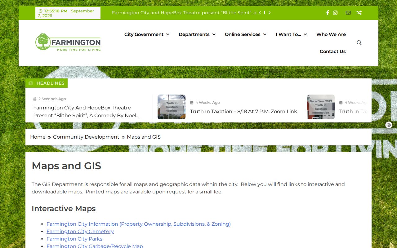
The Farmington GIS page ties a street to city layers that the county tax card does not show.
Records Searchable by Farmington Street
Several record sets can be keyed to an address, but they reveal different people fields. The coverage table below separates title, tax, map, voter, city, and historical sources. It is the core of a careful street directory search because it prevents an owner record from being described as an occupant list.
| Source | Address Key | People Fields | Access |
|---|---|---|---|
| Assessor/property map | Situs, parcel, owner | Owner, mailing address, value, characteristics | Public Property Search |
| Recorder | Parcel, legal description, document | Grantor, grantee, transfer history, liens | Public index; REDI-Web images |
| Treasurer | Land serial number | Tax status and notice owner | Tax search |
| GIS | Mapped parcel and street | Parcel ID, subdivision, zoning, neighbors | Davis and Farmington maps |
| Voter data | Residence, mailing, precinct | Standard fields for registered voters | Profile or lawful file request |
| City permits/code | Address or case | Applicant or responsible party if releasable | City GRAMA; no public index found |
| Reverse directories | Street and house number | Past occupants or subscribers | Library and museum |
| Clipper notices | Name, place, date | Moves, deaths, marriages, local events | Digital and appointment archive |
Use the Recorder property page for deed and public-terminal guidance. The street directory owns the address chain, while a one-person question belongs in the separate resident lookup workflow.
Farmington Street Directory Deed Chain
The Recorder's index is the ownership trail behind a street search. Start with the current parcel, find the transfer that put the current owner on title, and note the grantor, grantee, recording date, document entry number, and legal description. Search the prior grantor as grantee. Continue backward, switching to the legal description whenever an old deed lacks a modern street number. A subdivision plat can connect a parent tract to later lots.
Davis County says its Recorder has safeguarded land records since 1850. The history materials mark 1870 as a historical land-record collection milestone and 1981 as computerization and microfilming. The exact online cutoff by document type was not published. Older work may need a public terminal, microfilm, deed book, or staff direction. REDI-Web is a $25-per-month subscription with $1 digital copies; public counter and mail copies have separate fees.
The Davis County Recorder REDI-Web page is the source for subscription-based deed and parcel research.
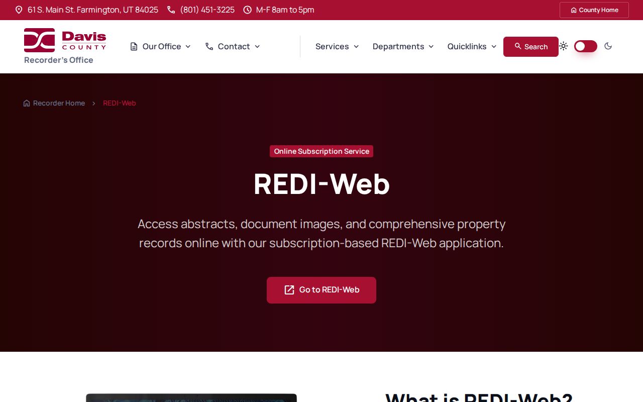
The REDI-Web capture shows the paid image and abstract channel that supplements the free public index.
Use Farmington's Historic Street Grid
Farmington's 1853 plat gives old street records a local frame. Main Street is the historic north-south spine and also State Highway 106 through the historic district. Historic examples use North and West directions that may look unfamiliar beside a current map. The research did not verify a citywide renumbering or renaming project and year, so an old number should never be silently converted.
The Main Street Historic District covers about 1853-1961 and includes pioneer homes, commercial buildings, and civic sites. Clark Lane reflects a family settlement pattern from 1856-1970, including later subdivision of large family lots. When a directory gives a house name or nearby landmark, search that phrase in Historic Building Records, then bridge it to the Recorder parcel and legal description.
Read Farmington Reverse Directories
A historical street directory answers the occupant question that a current tax card cannot. Utah Historical Society guidance describes the address portion of Polk-style directories as the “pink pages.” Begin with the street section, copy the exact direction and number, then inspect the name section. Note occupation, spouse or maiden-name marks, owner or renter notation if the volume uses one, and the abbreviation key.
Farmington has a verified 1922-23 city-directory reference, but no complete local publisher run was found. Davis County Library has a Farmington microfilm reader and catalog. Its digital library links searchable Davis County Clipper issues from 1892-1992. The Farmington Historical Museum holds most later bound issues through 2020 and researches them by appointment. A missing directory year is a reason to try a newspaper, census, deed, or family paper.
Farmington Street Directory Voter Data
Utah's voter layer can add a current registration signal at a street or block scale, but the public Voter Search is built around an individual's status and polling information. Standard data may include name, voter ID, residential and mailing address, party, active or inactive status, update date, precinct and district, and vote history. Full DOB, SSN, state ID number, signature, phone, and email remain restricted.
For a county-specific street extract, ask the Davis County Clerk about the lawful request path. At-risk and Safe at Home records may be withheld, and a missing voter may reflect privacy protection, inactive status, a name variation, or an ordinary search mismatch. Do not use a voter list as proof that every household member lives at an address.
Privacy boundary. A Farmington street directory is for lawful personal, family-history, civic, and safety research. Repeated monitoring, following, unwanted contact, threats, or surveillance can violate Utah stalking law, section 76-5-106.5. Renters, household members, visitors, utility customers, and protected addresses are not a public street roster.
Farmington Street Directory City Clues
Farmington City does not publish a searchable permit or code-case index in the inspected pages. Its City Recorder accepts GRAMA requests, and Community Development provides a violation-report route. A narrowly described request for a defined address and date range may locate releasable applications, notices, plans, or responsible-party names. The city states a response period of up to 10 working days, with copying and staff-time charges.
City Hall is at 160 South Main. The city contact directory, GIS map, cemetery map, and code-enforcement page answer different questions. A cemetery inquiry goes through City Hall, and the 2023 trails book mentions an alphabetical grave list in a cemetery mailbox plus plot records held by the sexton. Confirm current practice before relying on an onsite clue.
Farmington Street Directory Limits
A street directory cannot show every person connected with an address. A property card is about land and tax records. A deed is about a recorded interest. A voter record is about registration. A reverse directory is about a historical listing. None supplies a complete live household count, delivery list, utility customer list, DMV address, or protected survivor location.
The 1853 grid, current parcel geometry, postal city, and municipal boundary can also disagree. When the question shifts from a whole street to one person, use at least two independent details and verify the result with the creating office. That is how a Farmington street directory stays specific, useful, and fair to people whose information is protected.