
Looking Up Farmington Neighbors
A block search is a map-and-record exercise. Start with one known address, then identify the adjacent parcels visible around it. Davis GIS shows parcel polygons, subdivisions, and tax context. Farmington GIS adds property ownership, zoning, subdivision, and cemetery layers. The Recorder supplies recorded ownership and document history. Historical directories and the Clipper can show past occupants, but neither is a current block roster.
| Source | What It Shows About a Block | Access |
|---|---|---|
| Davis GIS | Parcel polygons, owners or links, subdivisions, tax units | Free map, disclaimer applies |
| Farmington GIS | Property ownership, zoning, subdivisions, cemetery map | Interactive city maps |
| Recorder | Ownership history, deeds, liens, legal descriptions | Public search; REDI-Web images |
| Assessor and Treasurer | Value, tax status, mailing and situs clues | Property and tax portals |
| Voter data | Registered voters and standard address fields | Profile or lawful request; at-risk limits |
| Neighborhood or HOA registry | Legal association name and contact path | Public entity search; rosters private |
| Clipper and museum | Past moves, deaths, events, local ties | Digital issues or appointment |
The layers answer different questions. An owner is not automatically an occupant. A registered voter is not every household member. An association's legal name is not its membership list. Keep that distinction at the center of any Farmington neighbors search.
Map Farmington Neighbors by Parcel
The reliable adjacent-parcel method uses clicks and parcel IDs. Davis County instructions say to zoom the basemap and click a property so parcel details open on the right. Farmington City Information adds ownership, subdivision, and zoning context. Exact buffer, radius, measure, and select tool names were not exposed in the inspected pages, so do not promise a radius tool. Walk the visible polygons one at a time.
- Locate the target address in the Davis County or Farmington map.
- Copy its parcel ID, situs address, legal description, and subdivision.
- Pan to each touching polygon and record the displayed parcel ID.
- Confirm each ID in Davis Property Search and compare owner and mailing fields.
- Use the Recorder or historical sources only when the question needs a title or past-household check.
Process flow: target address to parcel polygon, parcel ID to owner card, owner card to legal description, legal description to Recorder history, then adjacent parcel to adjacent parcel. A visual map is a practical index, not a legal survey.
The Farmington Neighborhood Association dues page describes the private resident-directory benefit.
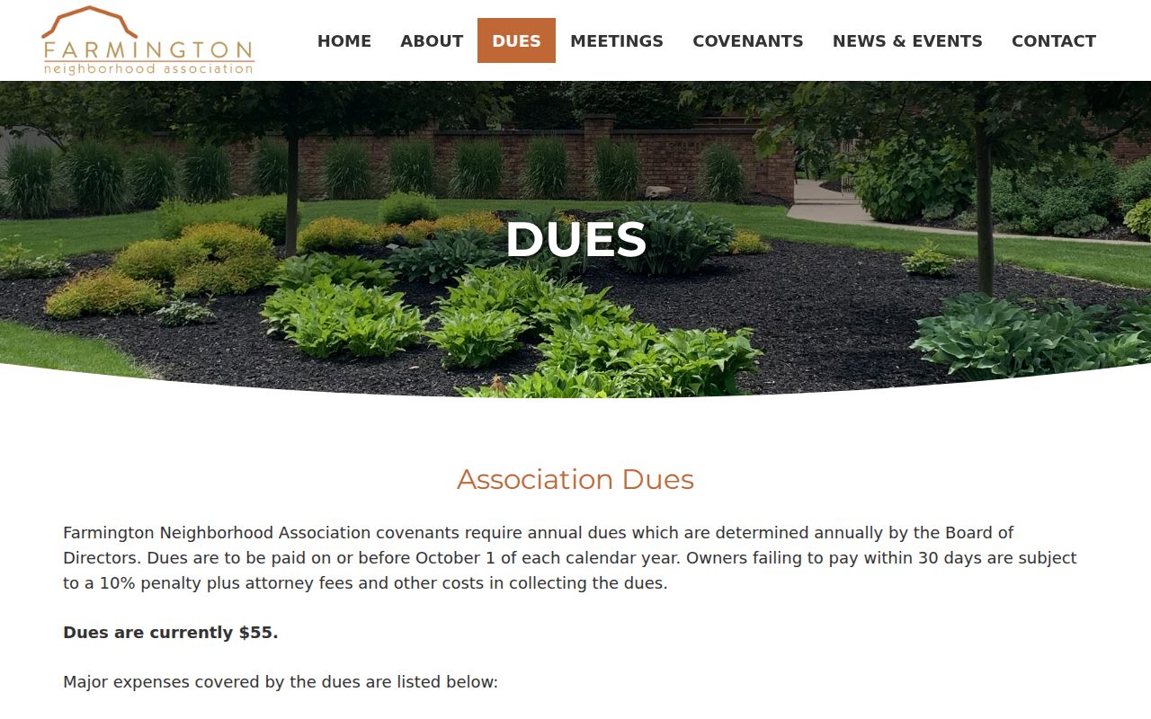
The association-related capture belongs beside the block method because it shows a community layer that parcel maps do not provide.
Read Farmington Neighbors Through Ownership
Davis Property Search may show current owner, situs, mailing address, parcel or serial number, legal description, acreage, boundaries, ownership history, assessment, and tax context. The mailing address can be outside Farmington. It may belong to an estate, trust, manager, or owner elsewhere. A matching situs and mailing address is still only suggestive. The Recorder, not the map, is the source for recorded title.
Copy the same fields for each visible parcel. If two parcels appear to share a surname, do not assume one household or one family. A subdivision may contain multiple lots, and an older family compound may have been split over time. Legal descriptions and document entry numbers are stronger comparison keys than a visual guess.
- Parcel
- A mapped tax and land unit with a serial number and legal description.
- Situs address
- The physical location of a parcel.
- Mailing address
- Where tax notices or other correspondence are sent.
- Block lookup
- A focused review of the parcels immediately around a target address.
Farmington Neighborhood Association Directory
Farmington Neighborhood Association confirms that a resident directory exists as a private membership publication. Its dues page says current annual dues are $55 and fund snow plowing, mowing, neighborhood sales advertising, printing a resident directory, the Farmington Connection newsletter, postage, insurance, legal and accounting costs, and web expenses. That confirms the publication and its purpose, not the names of participating households.
The association is a contact route for its own members, not a public substitute for Davis County records. The Utah Commerce HOA Registry, introduced for associations in 2025, searches complete or partial legal names and aliases. It can identify the legal umbrella association for a subdivision and a public contact path. It cannot establish which Farmington neighbors belong to the association.
The Davis County inmate roster illustrates the limited public name and booking fields available in that separate record system.
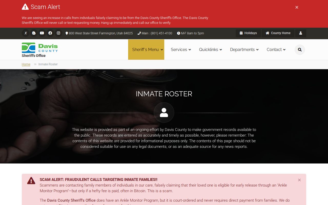
The second capture is a public name-field example from a different county tool, useful as a reminder that visible fields do not turn a government page into a complete household list.
Farmington Neighborhood Association
Dues and directory information are handled through the association's own page.
Utah HOA Registry
Search a legal association name or alias for an official entity route.
Voter Records for Farmington Neighbors
Utah standard voter data may include legal name, voter ID, residential and mailing address, party or unaffiliated status, active or inactive status, update date, precinct, district, and vote history. Full DOB, Social Security number, driver-license or state-ID number, signature, phone, and email are restricted. At-risk and Safe at Home information can be withheld. The public Voter Search is designed for an individual's status and polling information.
A county-specific list request belongs with the Davis County Clerk. The state does not offer the same county list through a free open browse. An absent voter may be protected, inactive, registered under a variant, or not registered at that address. A listed voter may have moved without an immediate update. Do not use the voter layer to fill in missing household members.
Historic Farmington Neighbors and Lots
Farmington's Main Street Historic District covers about 1853-1961 and includes pioneer homes, stone, adobe, and log buildings, commercial sites, and civic structures. Clark Lane reflects a family settlement pattern from 1856-1970, including later subdivision of large family lots. Historic Building Records returned 118 Farmington entries, pairing building names and addresses with survey PDFs.
The city cemetery map and the 2023 trails book add another local clue. The book says a cemetery mailbox contains an alphabetical grave list, while plot records are available from the courthouse sexton. Confirm the practice before visiting. The museum holds family histories, school records, photographs, letters, diaries, and newspapers, but no current community membership roster was located.
Farmington Neighbor Lookup for Permits
Farmington's official pages did not expose a searchable public permit or code-case index. Community Development provides a violation-report route, and the City Recorder accepts a targeted GRAMA request. A defined address and date range may locate a releasable application, notice, or responsible-party field. The city states up to 10 working days to respond, with copying, staff-time, and media fees.
Ask for a record, not a conclusion about a neighbor. A permit applicant may be an owner, contractor, architect, or other responsible party. A code notice may name a property or contact without showing who lives there. Use the city's GIS and the county parcel record to frame the request, then let the custodian apply privacy classifications.
Official Rolls for Farmington Neighbors
Official records have a named custodian, a defined field set, and a stated access rule. Commercial neighbor tools may combine property filings, address history, marketing data, and inferred relationships. Such compilations can be stale, mix people with the same name, and repeat protected information incorrectly. They are not a substitute for a Davis County parcel card, Recorder document, voter rule, library source, or association contact.
| County and city records | Specific source, custodian, field limits, and correction route. |
|---|---|
| Historical collections | Documented date and place, often useful for family or block history. |
| Private compilation | Mixed sources and uncertain freshness; verify independently. |
For a whole named street, use the Farmington street directory address chain. The neighbor question should remain focused on the immediate block and on lawful community context.
Privacy Limits on Farmington Neighbors
Renters, household members, visitors, utility customers, delivery recipients, DMV addresses, Safe at Home actual addresses, and protected voter details are not a public list of neighbors. Utah Safe at Home offers a substitute address and mail forwarding to qualifying survivors. Recorded documents have their own rules, and a public record does not grant permission to republish personal information or make repeated contact.
Utah Code section 76-5-106.5 defines stalking as a course of conduct involving two or more directed acts, including monitoring, following, approaching, appearing at a residence, contacting family or neighbors, and electronic contact. A Farmington neighbors search is appropriate for understanding parcels, civic resources, historical blocks, and personal safety awareness. It is not a reason to watch, threaten, intimidate, or harass anyone.
Lawful use. Stop at the boundary of the public record. Verify ownership with the Recorder, ask an association about its own membership rules, and never infer a protected person's address from an omission.
Build a Farmington Neighbors Research Log
A block review is easier to audit when each parcel has its own row. Write the target address first, then list the adjacent parcel ID, situs address, displayed owner or mailing clue, legal description, source URL, and date checked. Mark whether the detail came from Davis GIS, Farmington GIS, Property Search, the Recorder, a voter profile, an association page, or a historical publication. This prevents a map label from being mistaken for a deed fact.
Use the log to resolve differences instead of smoothing them away. A parcel may have a mailing address outside Farmington, a trust or estate name, or an old street description. A neighborhood association may cover only participating members, and a public roster from another record category cannot fill that gap. Confirm uncertain ownership with the Recorder and keep personal details limited to what the lawful research question requires.